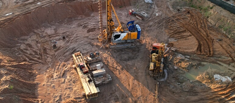

In M4Geo, we focus on providing precise knowledge in geology, hydrogeology and geotechnics, being key, to safety and functionality of every investment. Our measures are comprehensive analysys and data interpretation in term of lands, rocks and groundwaters, which are basis in planning and implementation of construction investments.

Researches support project decisions and minimize investment threats (in which construction failures). We analyse ground-water conditions towards to develop synthetic geological model, which is basis in every investment success.

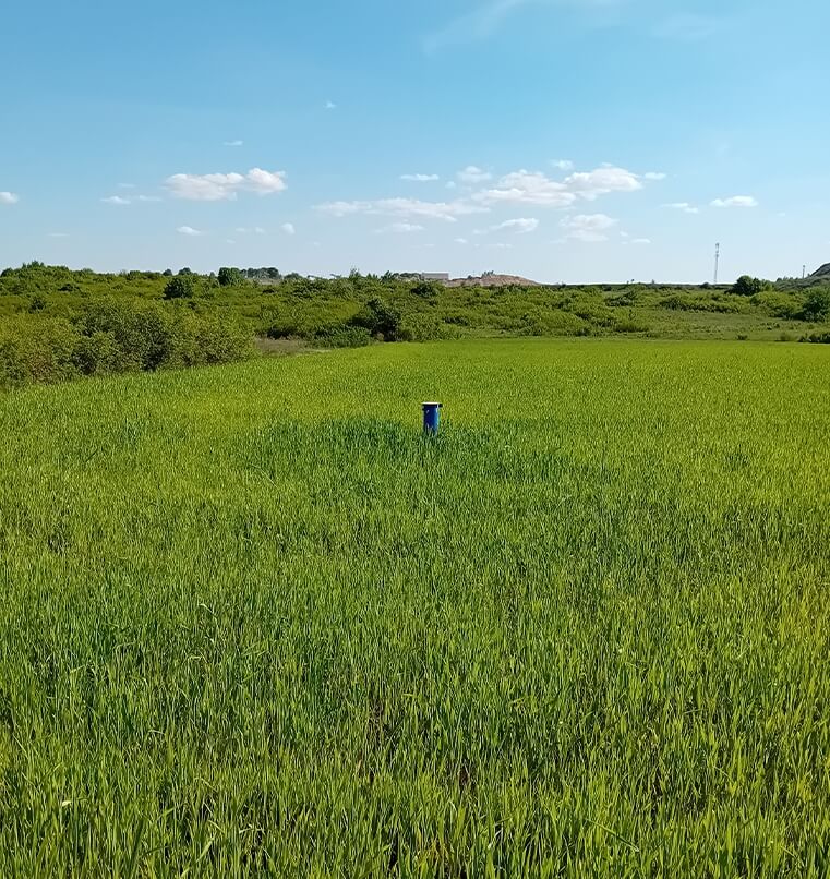
Macroscopic analysys alongside with groundwater measurment level

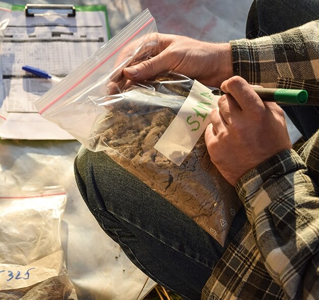
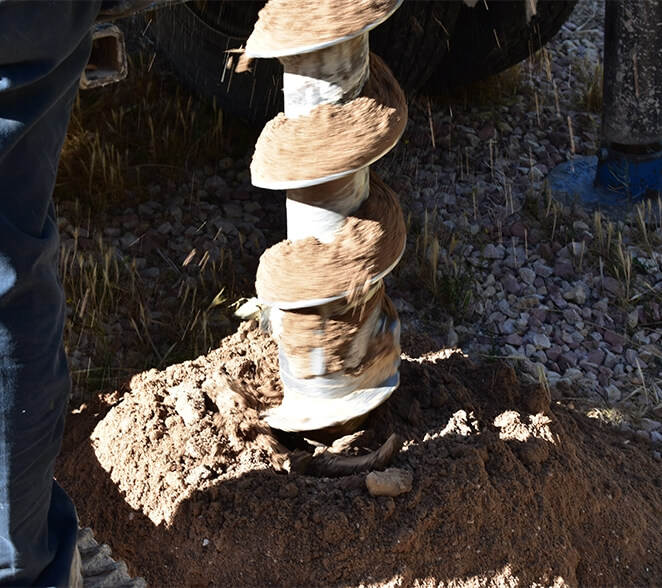
Soil condition assessment and their parameter in situ

Collecting proper class and category samples used to laboratory tests to acquire physical, mechanical and deformational parameters of soils and rocks.

Identifying and marking geological threats on the investment's track
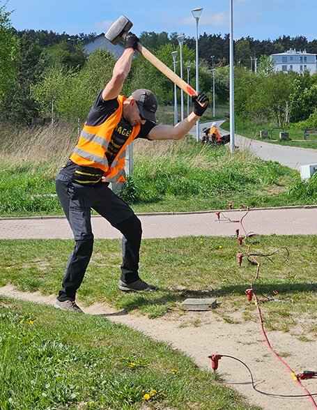
Using geophysical methods we obtain data of ground-water conditions in a non invasive way, what is notably useful in areas that have limited access to operationalize stanard drilling methods. Moreover, geophysical methods allow us obtain data, that supply geological model.
|
Electrical resistivity method Recognition stratum layers, zones of water and water table elevation. |
|
Seismic methods Marking elasticity paramater of soils and rocks, localizing weak zones. |
|
Ground penetrating radar method Localizing underground objects, voids, weak zones, thickness of anthropogenic soils, mapping existent underground infrastructure |